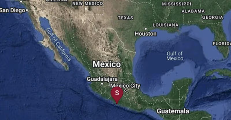
Map Shows Areas Affected by 6.5-Magnitude Earthquake in Mexico.
A strong, 6.5-magnitude earthquake struck in Mexico on Friday, according to the United States Geological Survey.
The temblor happened at 7:58 a.m. Central time about 2 miles northwest of Rancho Viejo, Mexico, data from the agency shows.
There were no immediate reports of deaths or widespread damage. As seismologists review available data, they may revise the earthquake’s reported magnitude. Additional information collected about the earthquake may also prompt U.S.G.S. scientists to update the shake-severity map.
Aftershocks in the region
An aftershock is usually a smaller earthquake that follows a larger one in the same general area. Aftershocks are typically minor adjustments along the portion of a fault that slipped at the time of the initial earthquake.